AT50-47 - expanding our maps
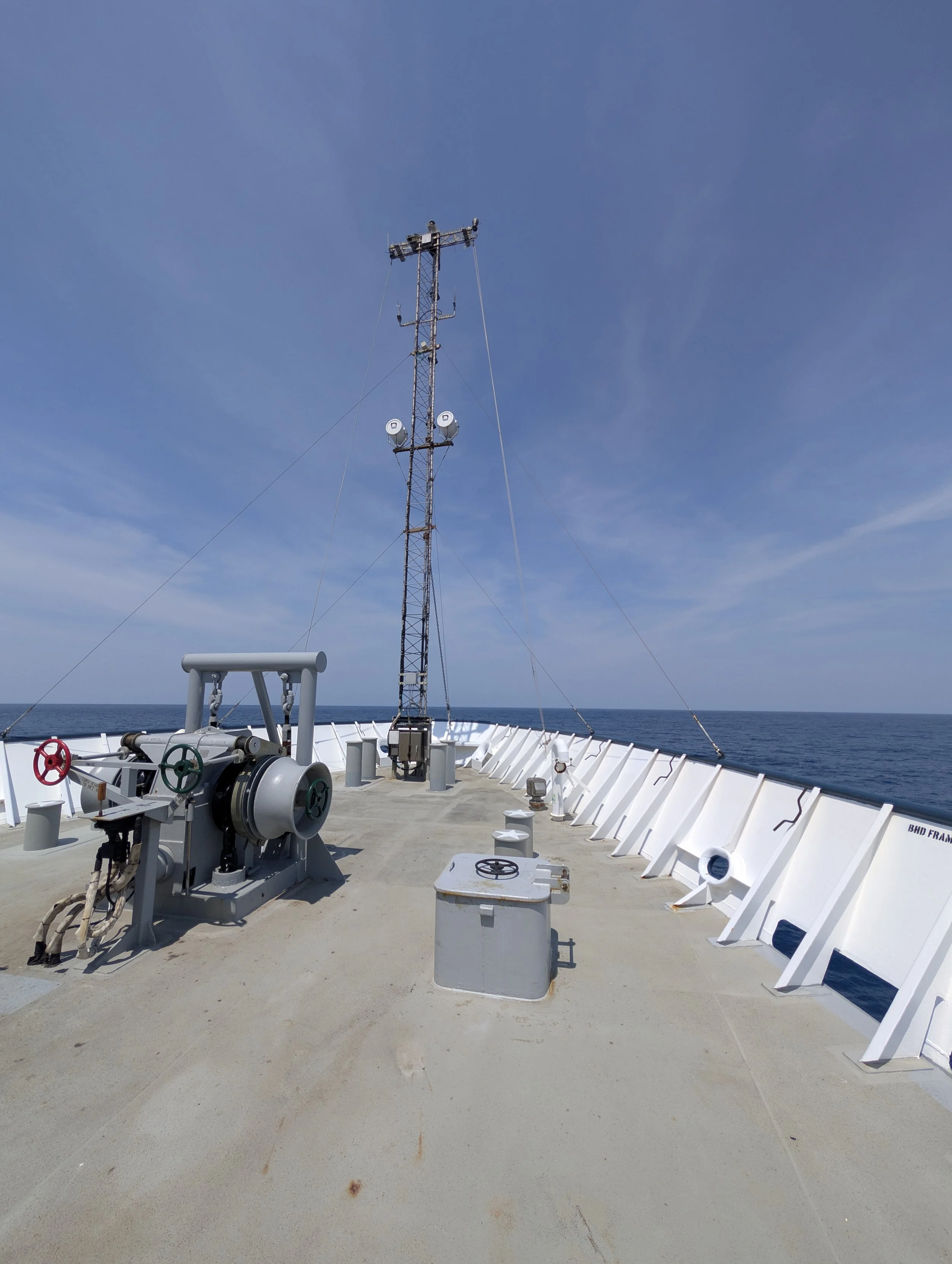
Recently, we completed an exciting expedition along the US Atlantic margin aboard the R/V Atlantis.
During this voyage, we successfully captured new, high-resolution geophysical imagery of both the seafloor and the water column.
These vital data expand our maps of this region and will contribute to planning our research when we return for the R/V Atlantis expedition AT53-02 with HOV Alvin later this year.
Among the most important data we collected were the distinct acoustic signatures of subsurface fluids escaping into the ocean.
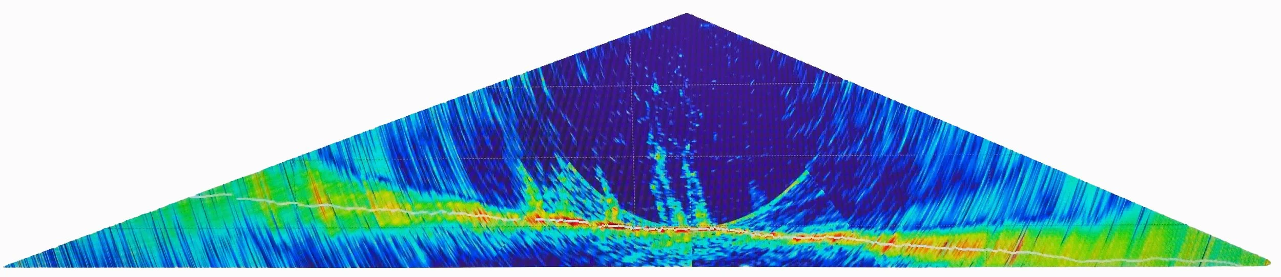
Multibeam Echo Sounder (MBES) imagery revealing distinct methane water column anomalies along the Atlantic margin.
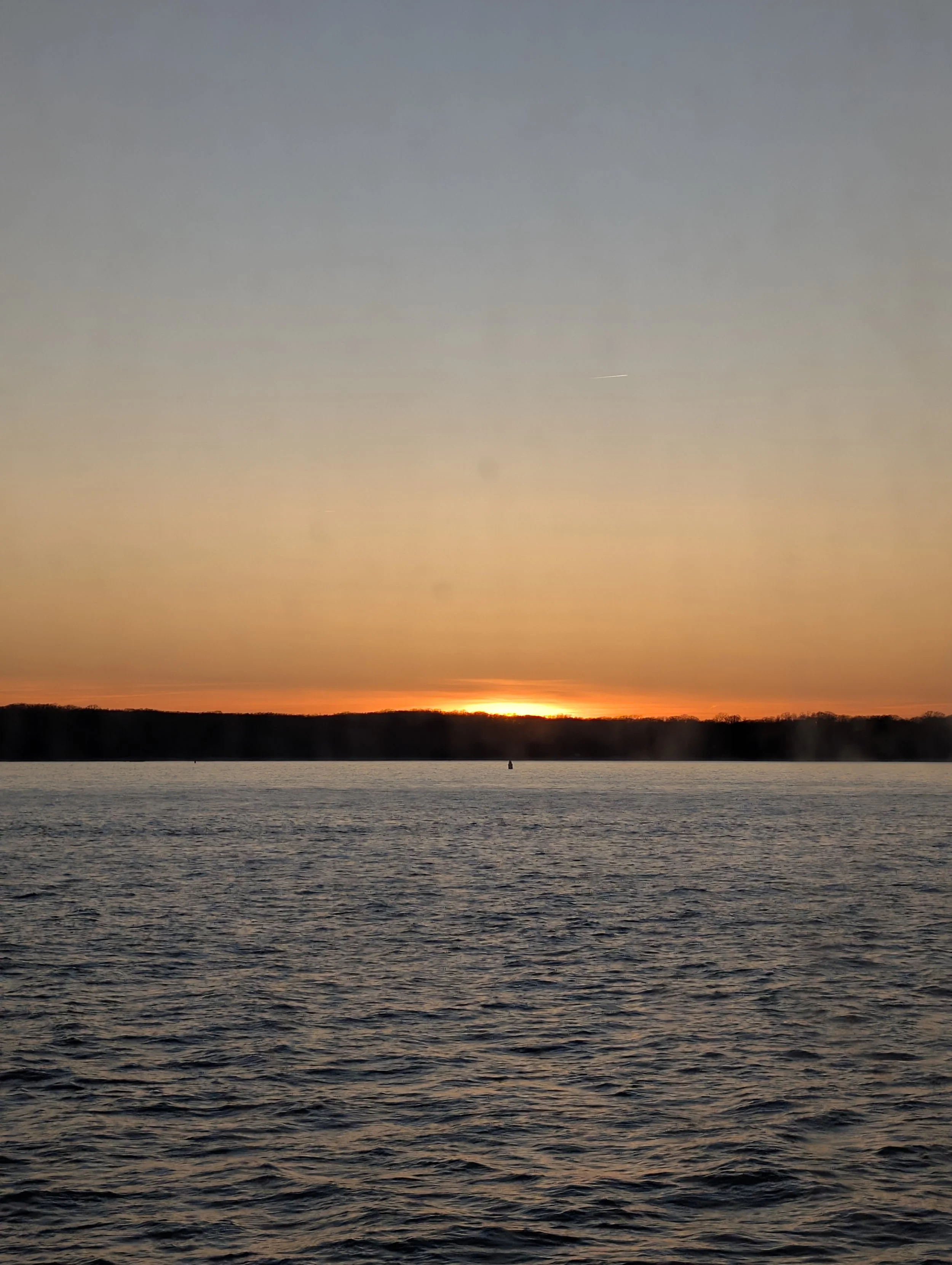
Of course, the Atlantic didn't always make it easy for us.
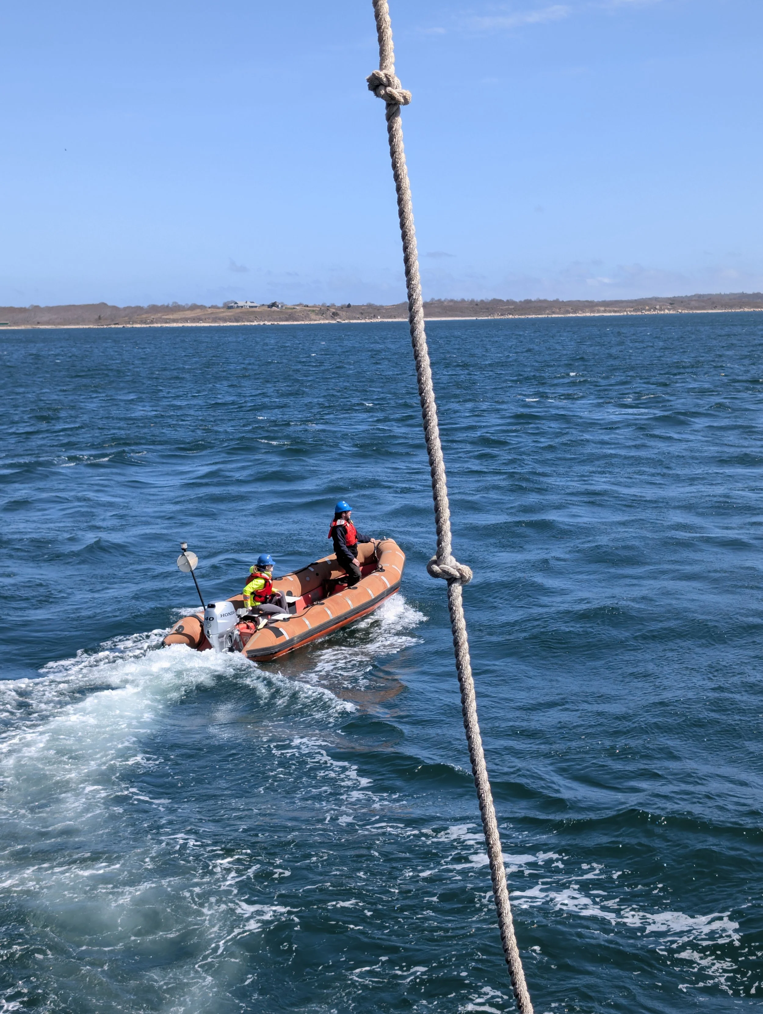
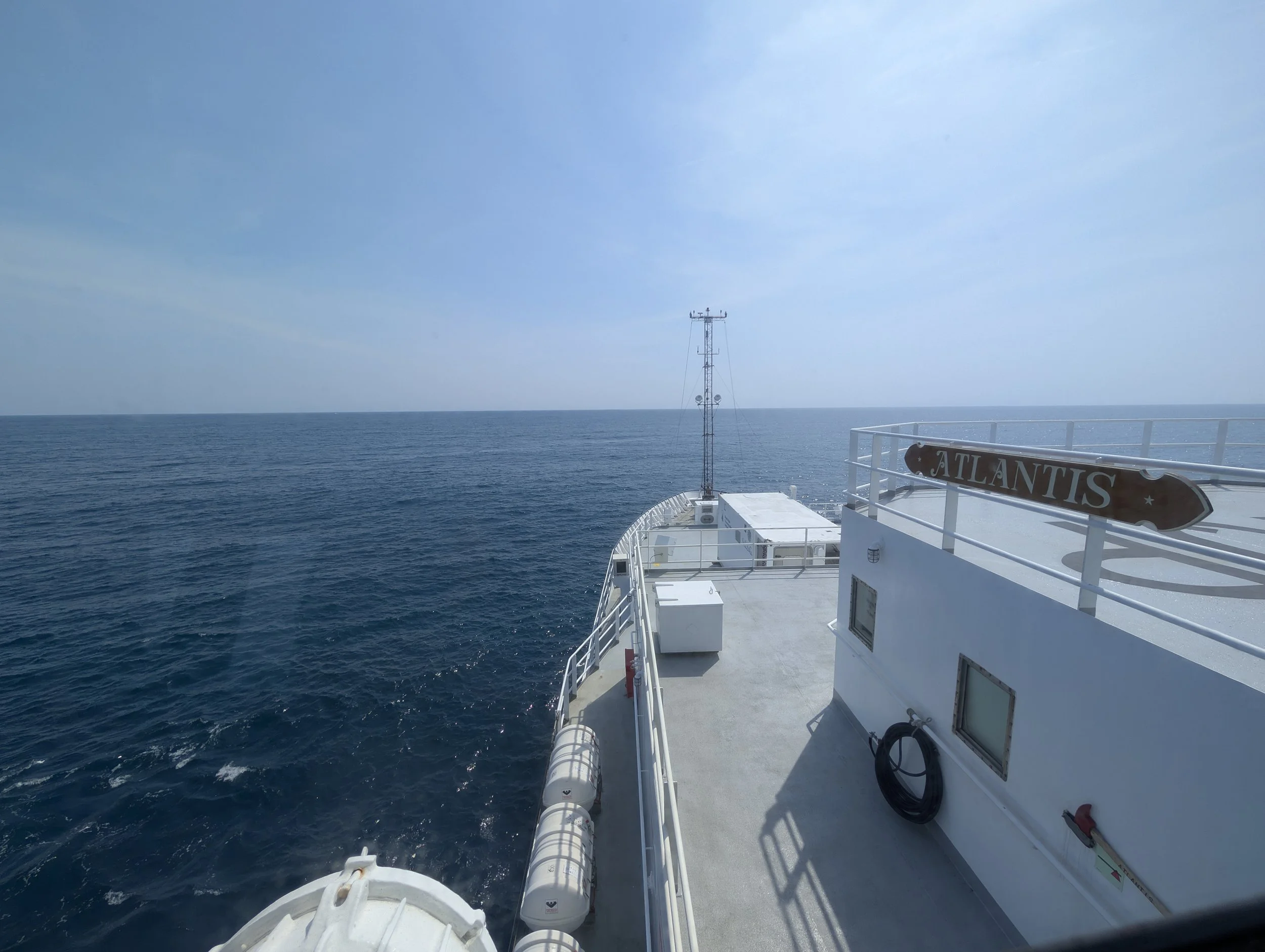
We navigated through some particularly rocky seas during the voyage. However, the rough weather provided a memorable moment when we happened to cross paths with the R/V Neil Armstrong out in the heavy swells.
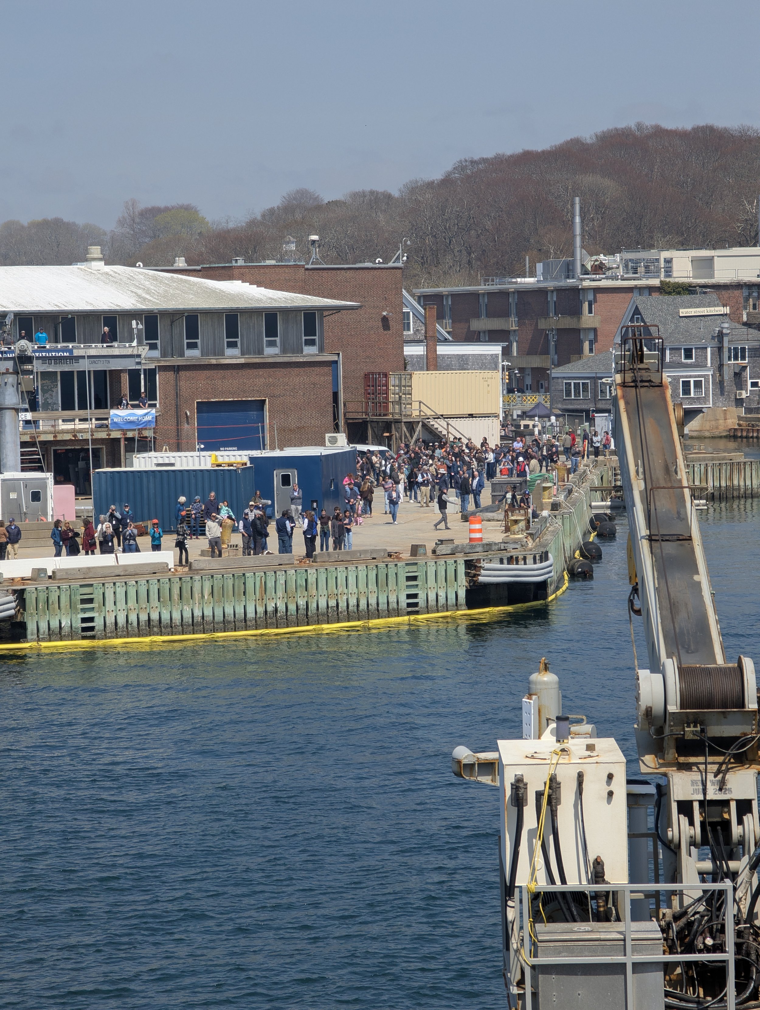
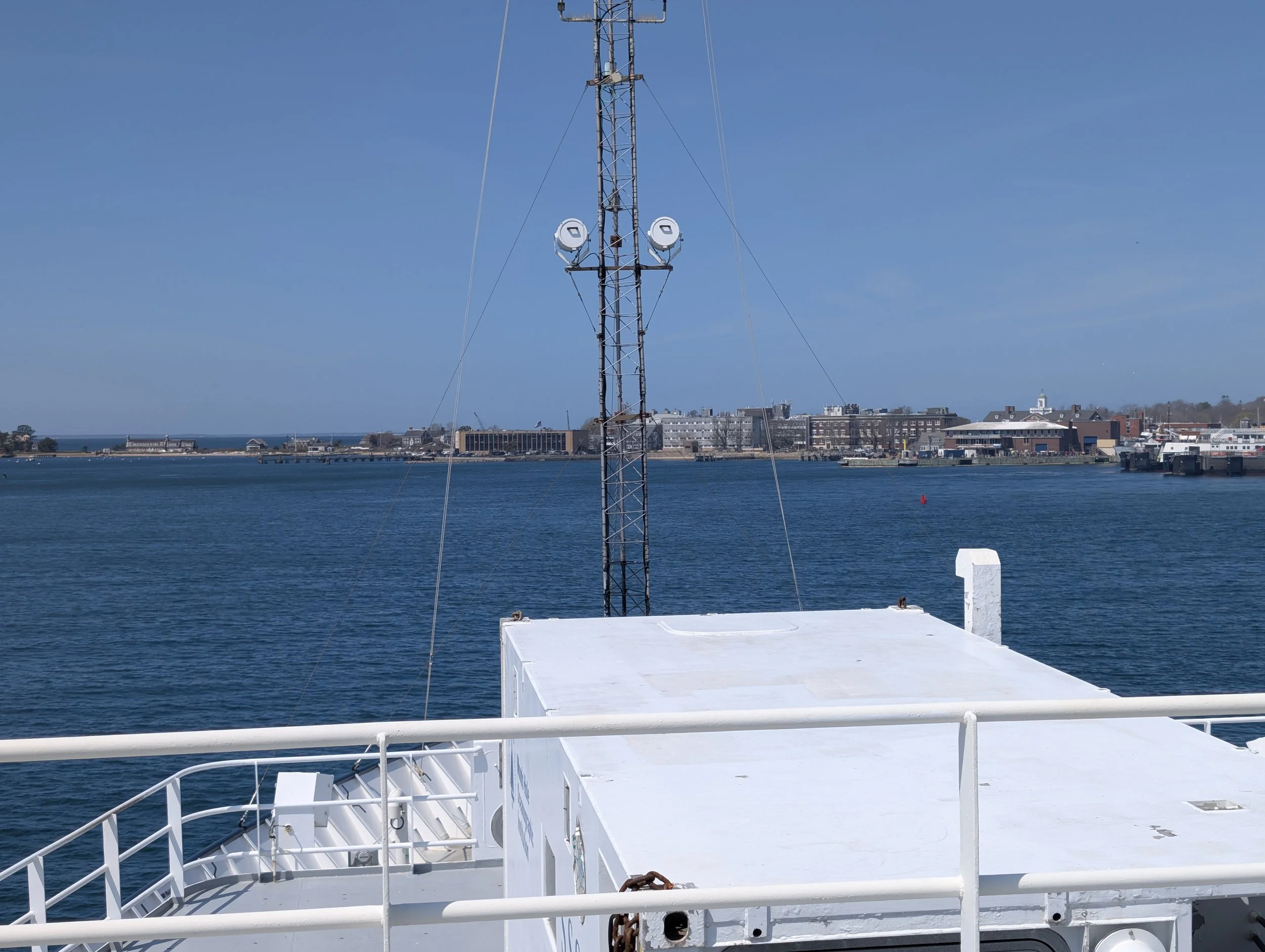
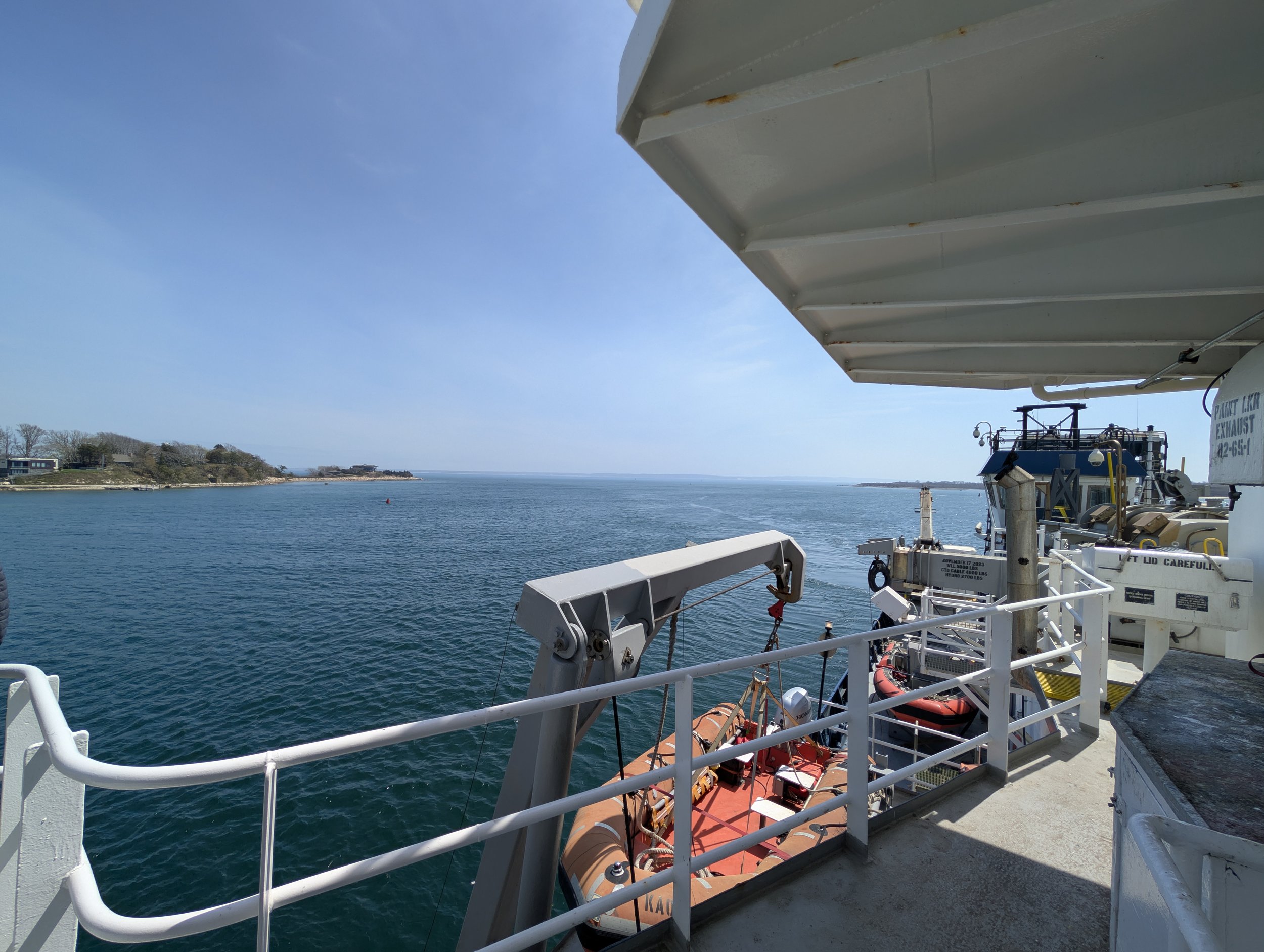
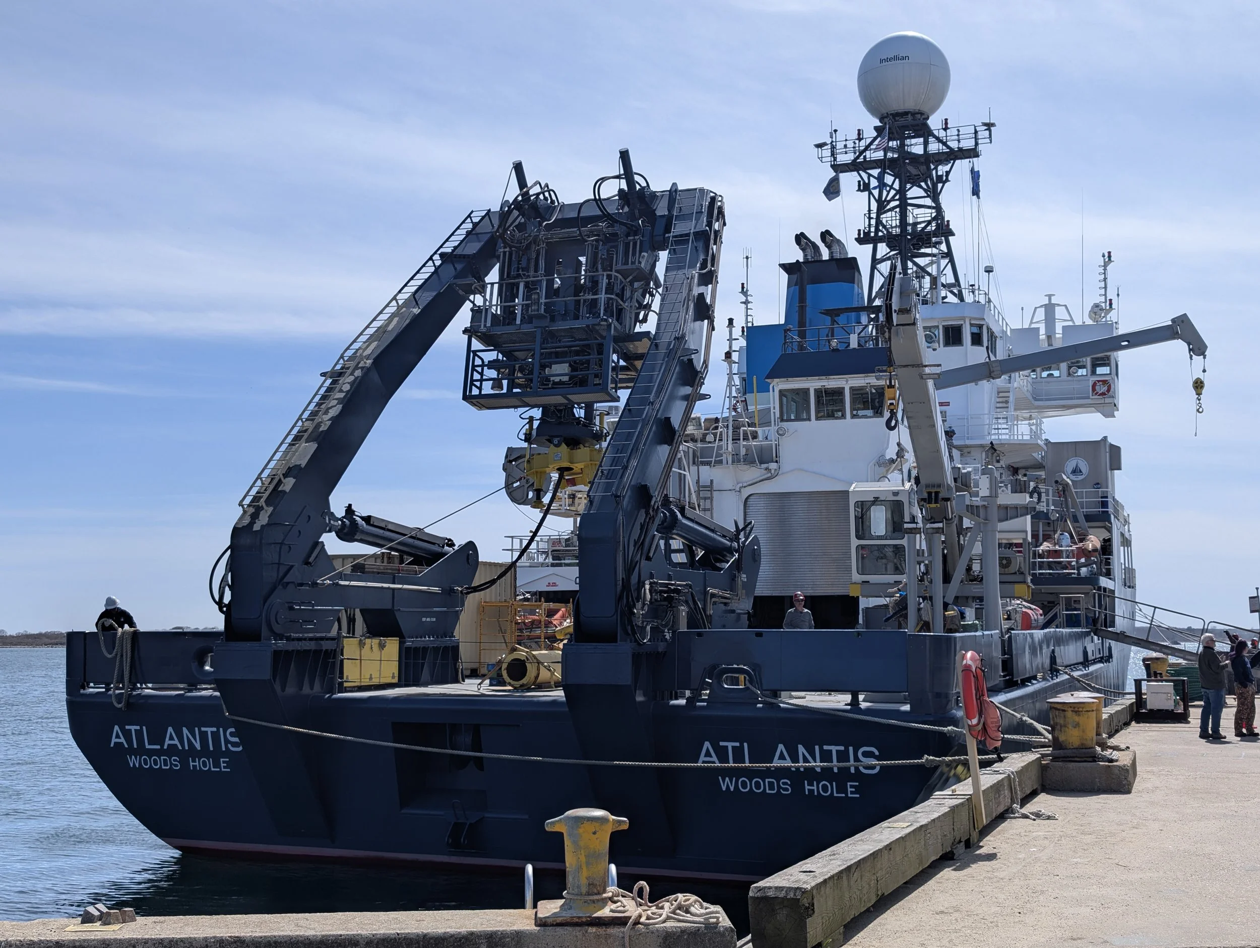
The conclusion of this expedition was especially momentous. As we finished our transit, the R/V Atlantis returned to her home port at the Woods Hole Oceanographic Institution (WHOI) for the first time in four years. Pulling up to the dock, we were treated to an incredible homecoming—welcomed back by a large, enthusiastic crowd and, much to our delight, plenty of pizza to celebrate a successful voyage.
We look forward to diving deeper into these maps and heading back out on AT53-02!
A rocky encounter at sea as we cross paths with the R/V Neil Armstrong.